Not officially abandoned, but might as well be, the Llano, TX branch
hasn't seen any rail traffic in at least 4 years with no sign of any
future activity. Let's hope it survives.
-
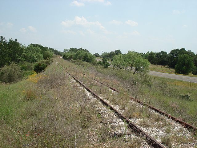
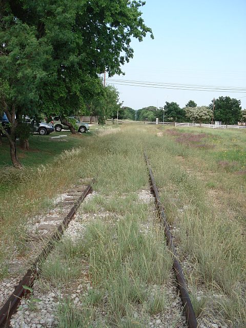
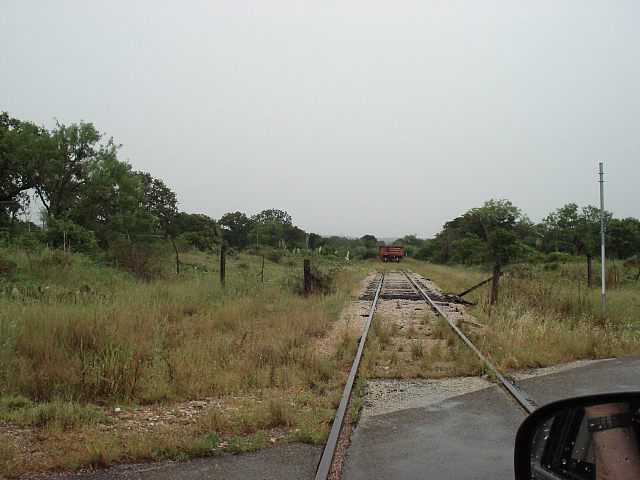
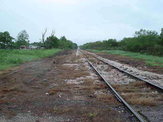
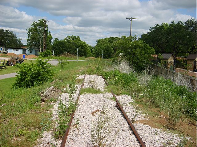
West of Kingsland looking east about a mile out of town.
Tracks have not seen use in quite a while. (see map "62" below)
-
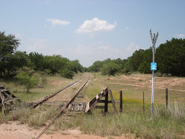
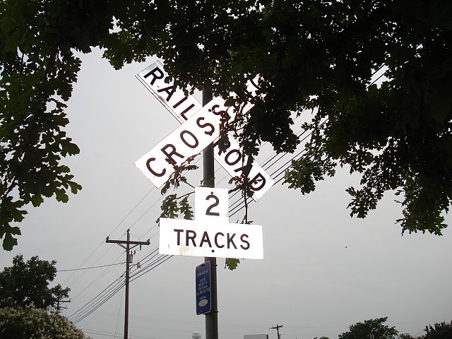
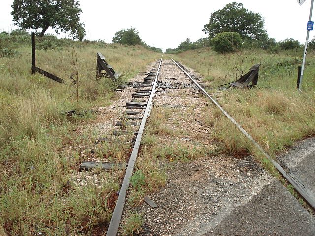
Same location looking west. The crossing sign and the "Capital Metro
In Case of Emergency" sign are both brand new. (see map "63" below)
-
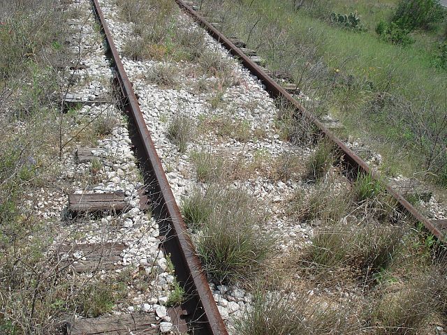
A closeup of the rail reveals no recent use.
-
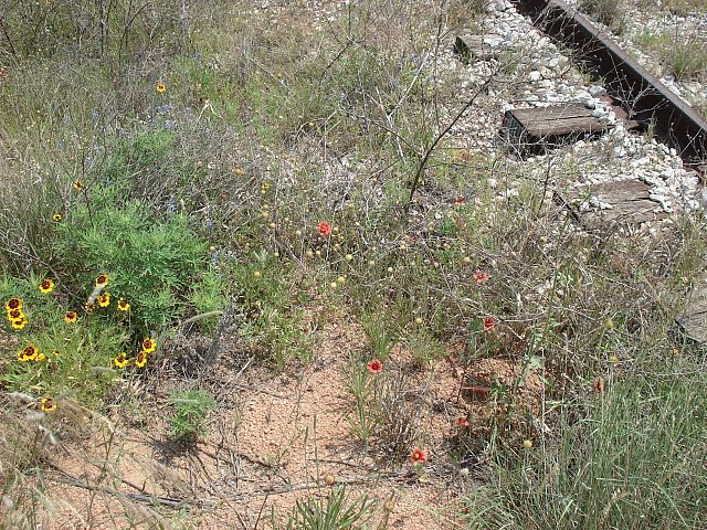
The wildflowers are nice, though.
-
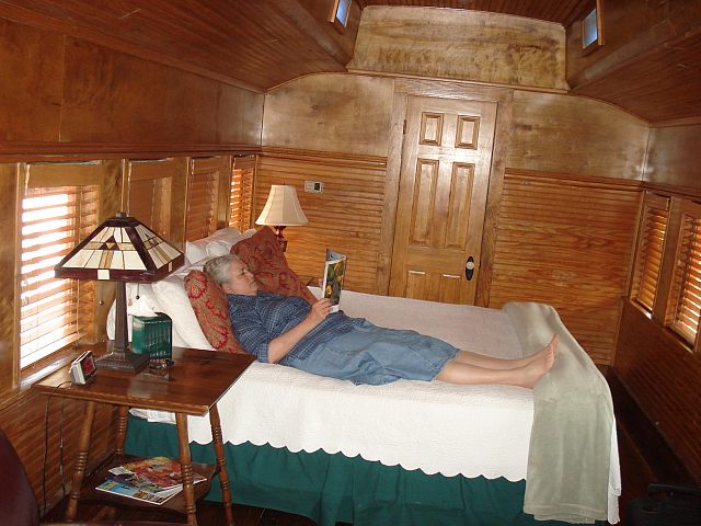
Back in Kingsland, we rented this nice McKinley coach at "The Antlers"
at the sight of the old Kingsland train station.
-
It's quite a cozy place. Air conditioned, kitchen, bath at both ends.
It was really quite nice.
-
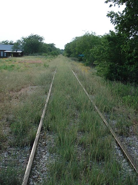
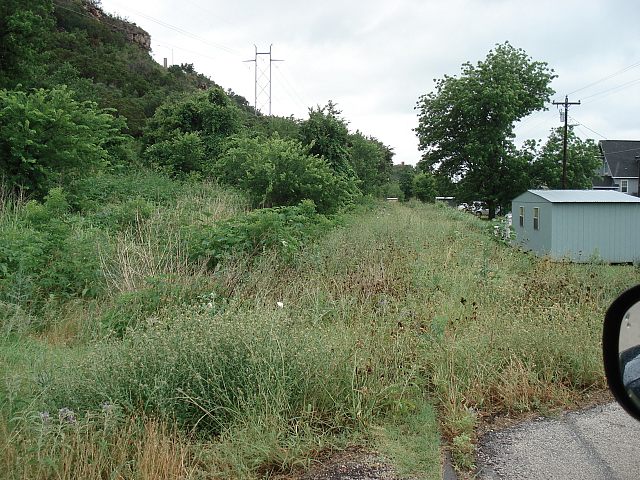
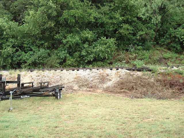
Back outside, the tracks are quite overgrown. I had no idea I was looking
at a siding with two tracks. But the handy maps shows it. (see map "71")
-
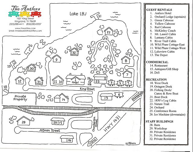
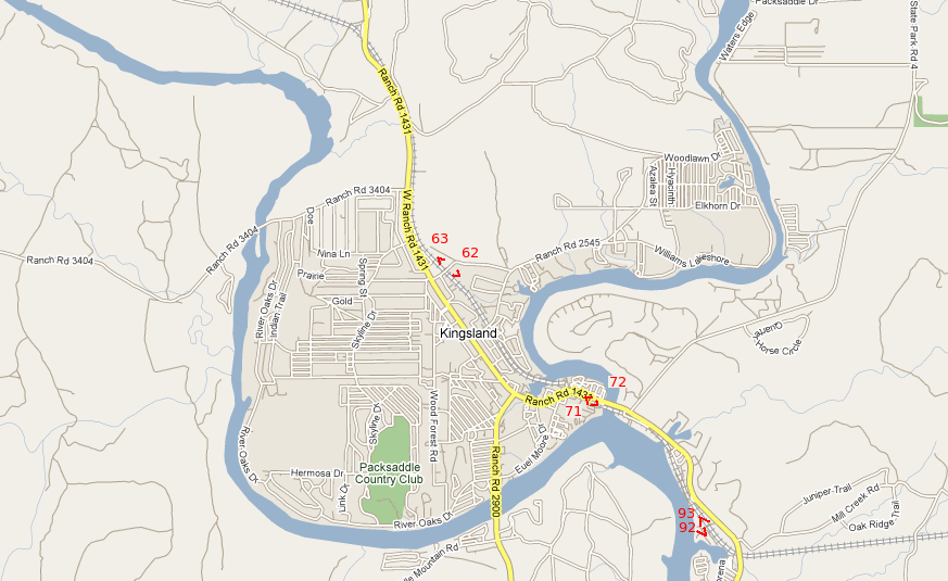
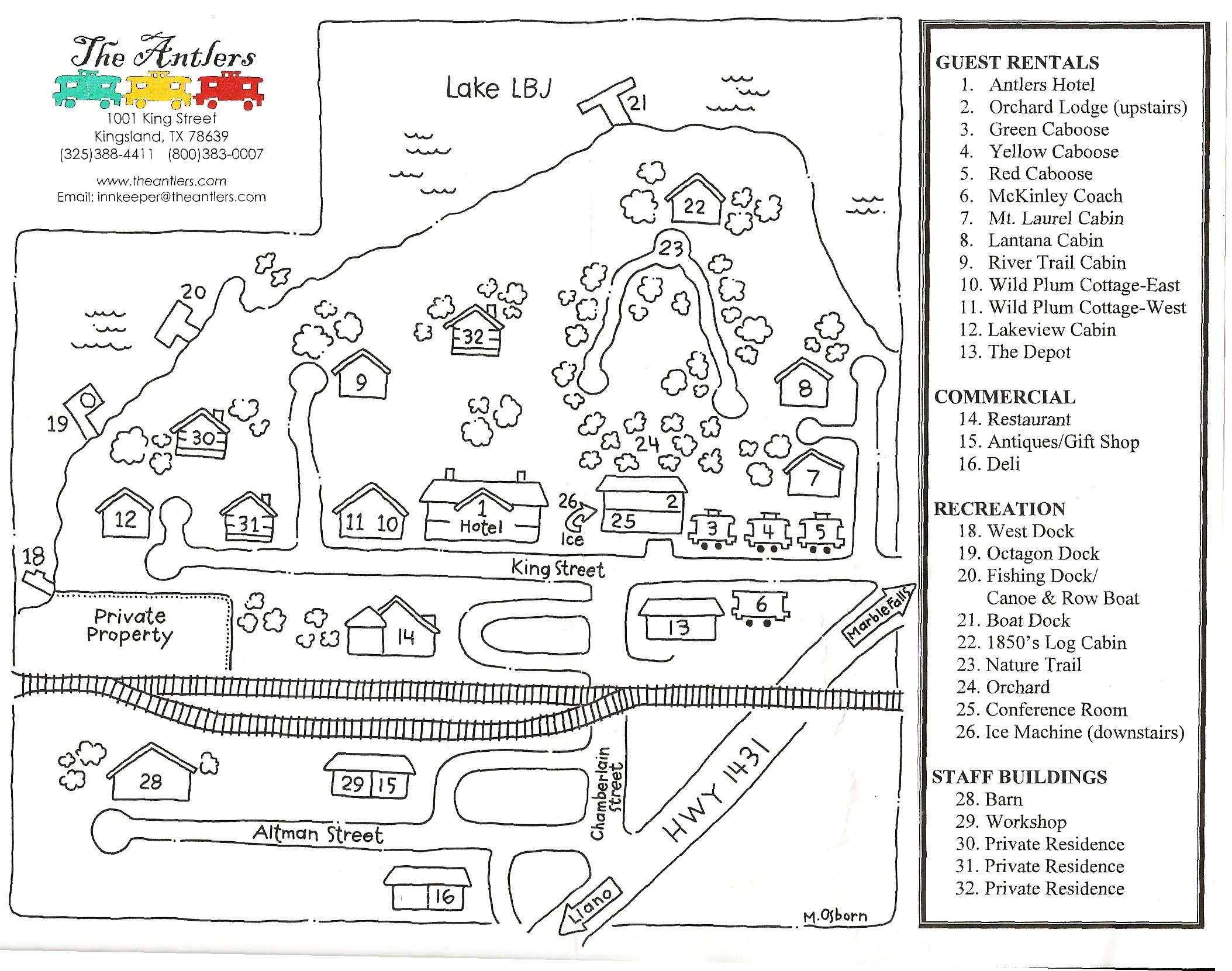
Here's the handy map the hotel gives you. For a larger version
go HERE
-
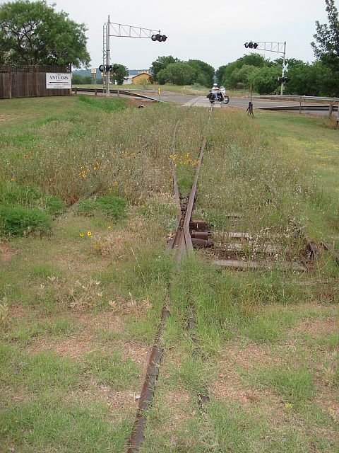
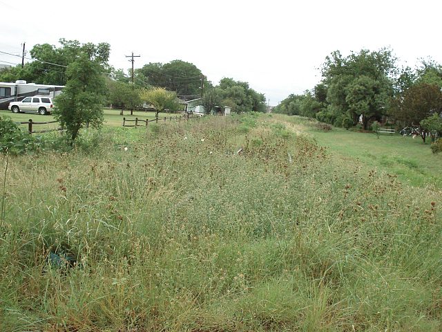
Looking east toward farm road 1431 crossing with brand new and operational
crossing flashers - but no evidence of 2 tracks. (see map "72" below)
-
Even the brand new crossing sign on Chamberlain street disagrees with me.
-
But wait. Here's a switch - and a rather fancy one with a frog that closes
the gap at the unselected path. Evidence of two tracks!
-
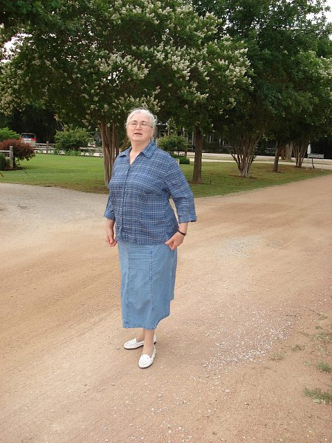
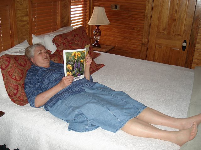
Wife, Donna has come out for a walk.
-
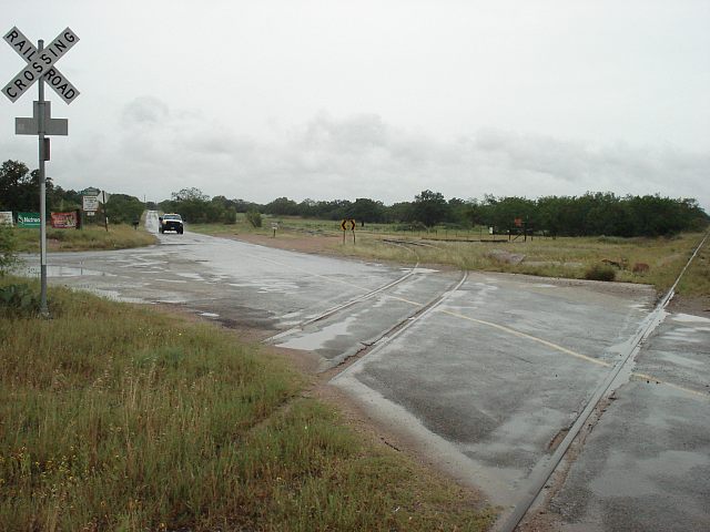
May 20th - Returning from Marble Falls
We found an old abandoned spur (with rails intact) crossing FM1431 so we
followed it. Here it is joining the main line, apparently still used at
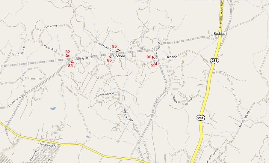
this location by the freight trains. (Looking East - See map "82")
-
Map of our Travels.
-
Looking at the old spur headed south. (see map "83")
-
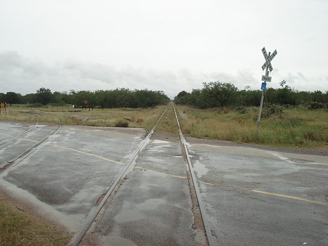
Looking at the main line heading west. (same location)
-
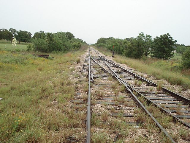
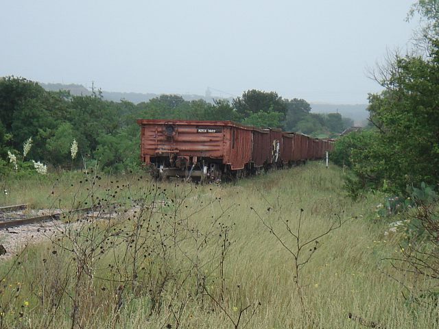
Crossing the main line again, further east and looking east. (see map "85")
Here are some Herzog gondolas parked on the main line.
-
Looking west at the same location. (see map "86")
-
Zooming in on the gondolas, you can see the stone loader in the distance
at Suddath. We later went there and saw stone hoppers on the spur.
-
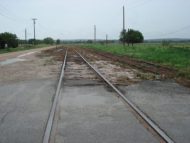
Crossing the Marble Falls branch looking North. (see map "90")
-
And looking south. (see map "91")
-
Back in Kingsland
Looking east at the bottom of the "Scenic Overlook". (see map "92")
-
A map of Kingsland.
-
Looking west towards Kingsland beneath the scenic overlook.
(see map "93")
-
Directly below the overlook at the roadbed toward the steep hill.
-
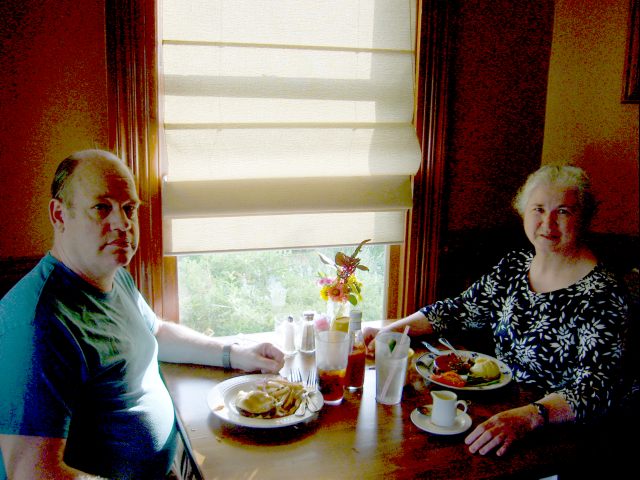
Back at the Antlers Inn. This is the Station House Restaurant.
We enjoed the food there very much.
-
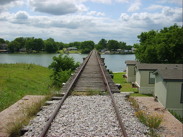
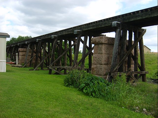
Next day, we hiked across the highway bridge over the Colorado
River of Texas
and south to the railroad bridge and onto it.
-
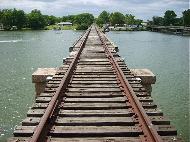
Looking east toward the scenic overlook.
-
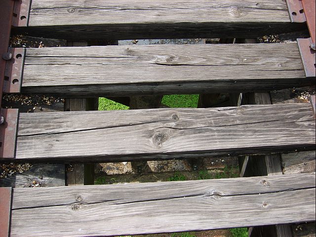
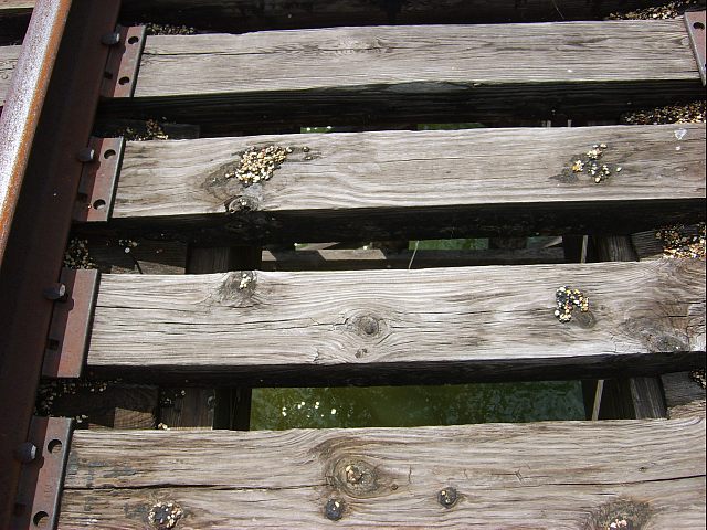
You really have to watch your step on this bridge. It's really kind of spooky.
-
Looking at one of the approach bents through the deck ties.
-
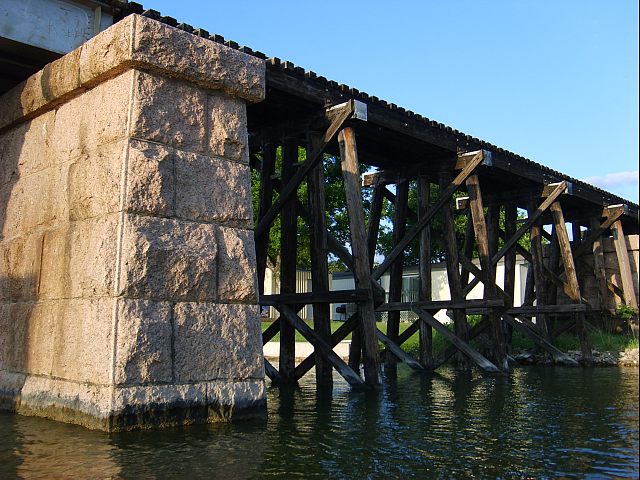
Looking west and at one of the original piers.
-
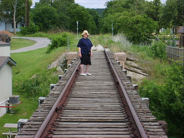
Donna also seems nervous about walking on this bridge.
-
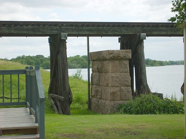
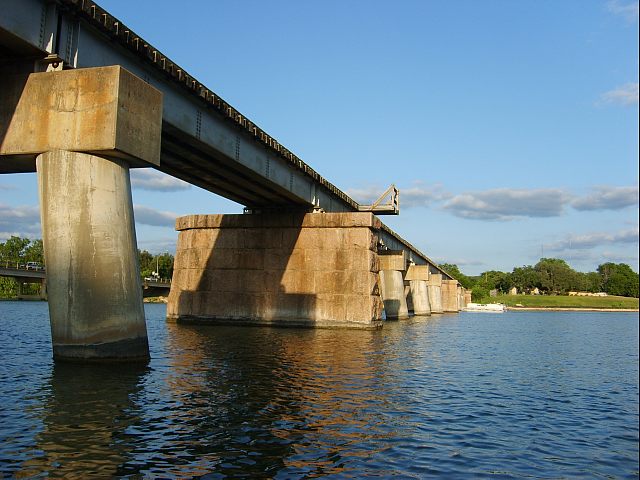
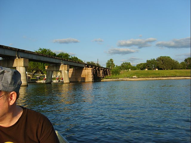
The approach trestles were built right over the original bridge piers.
-
But the new bridge uses some of the original piers.
-
Here again, the trestle is placed over the old piers.
-
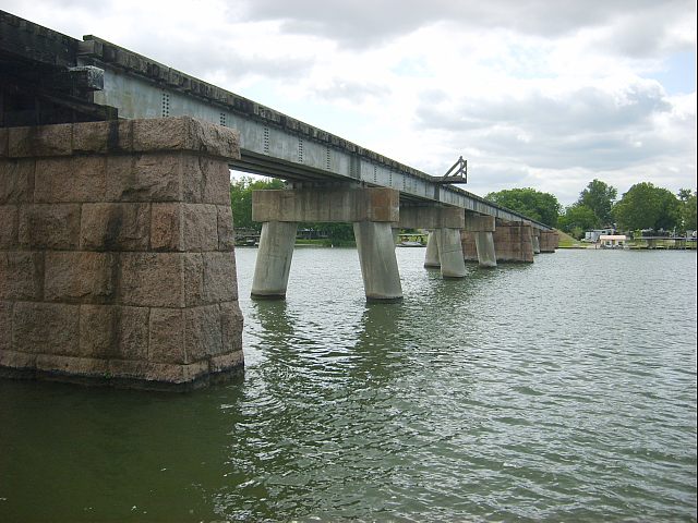
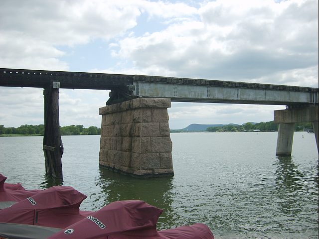
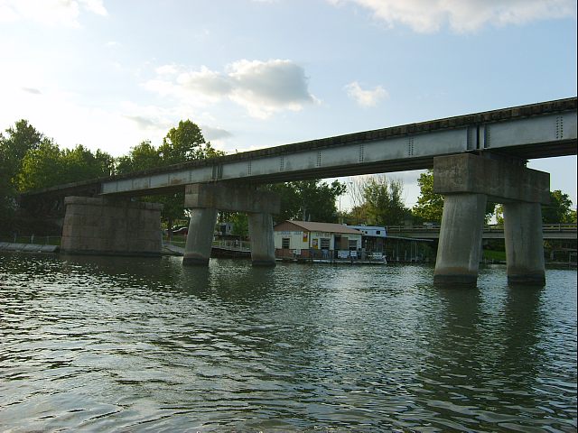
Because the new bridge is a quad I-beam design, it requires more piers
than the original.
-
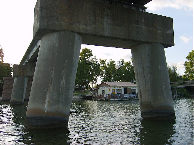
Nice legs. The new piers are a two leg concrete design.
These legs are
easily three feet in diameter.
-
Again, some of the original piers are still being used. Thanks to the Antlers
Inn
for the free use of their row boat.
-
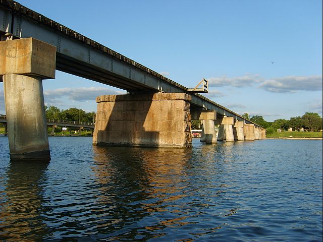
It's the only way you can get this view of the bridge.
-
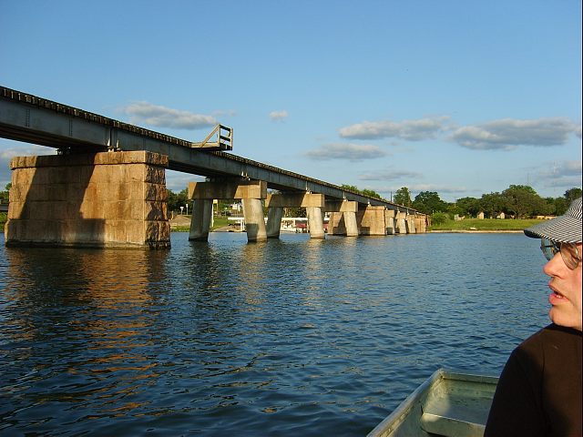
Yes that's me - chief row boat operator and paddler.
-
Looking at the west end.
-
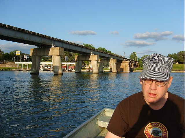
The shirt says "Algoma Central Agawa Canyon Tour Train" (Ontario, Canada)
But the hat says "Verde Canyon Railroad" (Clarkdale, Arizona, USA).
-
Turning the boat around to head back.
-
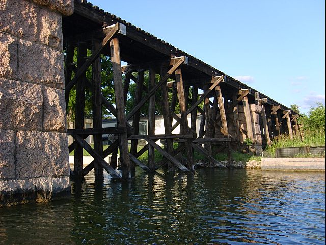
And for a couple more views of the eastern approach trestle. -- Bill
-